
Burton Neighbors by Parcel
For Burton neighbors, each source answers a narrow block question. A map identifies parcel geometry. Genesee Parcel History connects an identifier to owner, address, or deed-reference information. The Burton Assessor describes a current parcel card and distinguishes mapped location from tax-mailing information. A voter record, when legally releasable, is a registration fact and does not establish every current person at an address. The useful unit is the directly adjoining parcel, not the nearest name returned by a directory.
| Source | What It Shows About a Block | Access |
|---|---|---|
| Genesee FetchGIS | Parcel geometry, roads, aerial layers, measurements, and adjoining edges | Public map; premium reports or notification products may be paid |
| Genesee Parcel History | Owner, address, tax-map, owner-history, or deed-reference information for selected parcels | Public viewer; weekly updates, disclaimer, and top-100 result limit |
| Burton Assessor | Current parcel card, mailing and situs distinction, values, and sketch | BS&A or counter; record-card and sketch copies are $1 per sheet |
| Burton permits or code | Address-keyed project, inspection, demolition, or complaint trail | Department or FOIA; access and redactions vary |
| Historical directory | Dated address-to-name entries along a street | FPL or Library of Michigan; annual coverage varies |
| Voter records | Legally releasable registration fields, not a complete block list | SOS or Burton FOIA; protected fields are withheld |
Owner and occupant are not interchangeable labels. A parcel may be owned by someone whose mailing address is elsewhere, and a nearby record can be older than the map view. Keep the role, date, and custodian with every result. That also makes it clear when the evidence supports only a parcel relationship rather than a claim about who currently lives there.
Use Burton FetchGIS Maps
FetchGIS is the spatial starting point for a tight Burton block search. It provides parcel selection, aerial imagery from multiple years, elevation contours, measurement by line, area, or point, coordinates, current location, and markup. Select the subject parcel first, then inspect the edges that it shares with other parcels. This avoids treating a home across a road or behind an easement as directly adjacent.
Start at the Genesee County GIS maps and data route for the county's official mapping access.
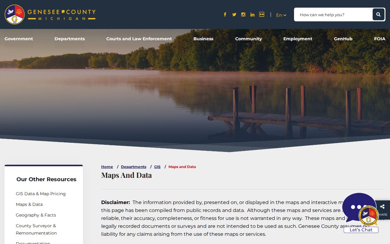
The GIS view is useful for showing the map path and should be read as parcel geography, not as a household roster.
Detailed land information, custom maps or reports, notification lists, and mailing labels may be fee-per-transaction products. The public map supports geometry and context, while paid output should be checked for its specific terms and fields. FetchGIS was captured as a dynamic map, so no unverified live field or results behavior is assumed here.
Map a Burton Neighbor Block
Direct adjacency is a short process. The subject parcel is the center. Shared edges identify possible neighboring parcels. Parcel History and the Assessor then provide record references for each selected parcel. This approach keeps a small block question separate from a full street investigation, where dozens of parcels and changing address ranges can produce misleading name matches.
- Normalize the address, including directional prefix, road type, unit marker, and the source community label. Burton, Flint, Burton Township, and nearby townships can appear differently in older records.
- Find the subject parcel in FetchGIS and record its parcel identifier, road frontage, map date, and the boundaries it shares with other parcels.
- List only parcels that meet along a boundary. Mark a road, waterway, rail corridor, or easement before calling a parcel adjacent.
- Open each selected parcel in Parcel History or the Burton Assessor source and capture the owner or taxpayer label, situs and mailing distinction, record date, and any deed reference.
- When the task expands beyond the immediate block, use the Burton street directory for the longer address-by-address record chain.
Parcel identity is more dependable than a bare street number. A legal description can outlast a renumbered road or a change in a mailing-city label. It also prevents a historic map label from being mistaken for a current parcel assignment.
Burton Neighbor Parcel Controls
The Genesee Parcel History viewer has enough controls to reward a narrow search. Quick search pairs a Swis or municipality dropdown with a Tax Map number. Advanced search offers Tax Map number, Deed Info, Owner Name, and Address modes. The viewer also has exact-match and top-100 options, search or find controls, a GIS Map, printable report, tax-map link, and merged-parcel and split tools. Preserve leading zeroes and separators in a tax-map number.
| Search control | Use and limit |
|---|---|
| Swis or municipality | Narrows a quick or advanced search to the correct local jurisdiction. |
| Tax Map number | Uses the parcel identifier; copy its format exactly. |
| Deed Info, Owner Name, or Address | Advanced modes that should be paired with a bounded name or address. |
| Find Exact Match Only | Useful when a broad name or address would merge similar results. |
| Only Display Top 100 Results | A reason to narrow the query before treating the screen as a full result set. |
Parcel History is described as updated weekly and disclaims a warranty. It can connect a selected parcel to a tax-map, owner-history, address, or deed reference, but it does not turn a search result into proof of current occupancy. The research capture also showed contact details that appeared inconsistent with Michigan, so confirm contact information through a current county page before relying on it.
Burton Block Boundary Limits
A map edge needs interpretation. A parcel touching a road, waterway, public right-of-way, or easement is not necessarily part of the same lived block or a shared household area. A road frontage can create visual proximity without a direct parcel boundary. Confirm the legal description and map date before treating a shape as a neighboring relationship. Geometry can tell where land meets; it cannot name an occupant.
Address geography can create another mismatch. Preserve unit numbers, road type, direction, and old spelling. Check whether a source refers to Burton city, historic Burton Township, Flint, or a surrounding community. A mailing-city label and ZIP are not parcel boundaries, service boundaries, tax jurisdiction, or proof of a person's present location. No authoritative Burton street-renumbering or annexation schedule was found, so a disputed historic address should remain an unresolved research question until a city or archival source is located.
Note: A precise parcel map is better evidence of land adjacency than a broad radius circle or a nearby directory listing.
Burton Neighbors in 1889
The 1889 E.R. Cookingham Genesee County atlas offers a dated way to move from a modern parcel question toward historical landowner labels. Its township, city, and village plats and directories are digitized as 86 images. The name on a plat belongs to the atlas year, not to a present-day household. Pair it with later deeds, assessor maps, and directories before connecting it to a modern address.
For a longer historical trail, FPL's House History guidance brings together directories, plat maps, Sanborn films where available, street maps, county histories, assessor and treasurer records, Register of Deeds research, newspapers, the Historic Homes Binder, census material, and Perry Archives originals. The guide notes that Sanborn coverage is not complete and that the Historic Homes Binder is very small. Some deed research may require an in-person visit.
Burton's record history also crosses a township period and city incorporation in 1972. Township assessment rolls, poll books, and registers of electors should retain their original jurisdiction and year. A modern street number may not exist in an early township source, so section, lot, road, and landowner clues often matter more.
Burton Community Directory Gap
No authoritative Burton neighborhood-association page, citywide umbrella directory, public HOA member directory, or block-watch roster was located in the reviewed official sources. That is a research gap, not evidence that Burton has no community groups. It also means a membership list should not be reconstructed from parcel names or private contact details. The safe community layer is geographic: roads, parcel boundaries, city maps, and clearly labeled public organization information.
| Organization layer | Verified Burton result | Safe next step |
|---|---|---|
| City neighborhood association | None located in official city pages | Ask Burton Planning or the Clerk for a current community-organization list. |
| Umbrella directory | None located | Do not invent a citywide umbrella; verify a city or county source first. |
| HOA member directory | No public official directory located | Treat membership and contact lists as private unless published by the organization. |
| Block watch or civic club | No verified public roster located | Request collection-level or public contact information only. |
| Historical groups | FPL or archives may hold histories | Search named collections rather than private member rosters. |
FPL and the Archives of Michigan can help locate a named historical organization or a collection-level finding aid. Genesee District Library also provides routes to local newspaper resources, although some databases have branch-access limits. Those are useful research channels when a date and organization are known, not substitutes for a current private roster.
Burton Neighbor Source Categories
Official records and commercial neighbor tools work differently. A county or city source identifies its custodian, record role, date, and access rules. A commercial category may combine public and purchased data, which can be stale, merged, or wrongly matched. Treat any compiled result as an unverified lead, then return to the Assessor, county GIS, Register of Deeds, Burton Clerk, court, library, or archive record that controls the fact.
| Official record category | Commercial neighbor-tool category |
|---|---|
| Shows a defined record role, such as parcel owner, taxpayer, permit fact, or dated directory entry. | May combine records with different dates and source quality. |
| Names the agency or institution that controls corrections and access. | May not show enough provenance to resolve an error. |
| Has known limits, redactions, and request channels. | Can merge same-name records or carry stale address information. |
A property owner label, voter registration fact, directory entry, and court-party record are not interchangeable evidence. Use the narrowest accurate description and keep a correction route to the primary custodian. That practice is especially important when the block includes common names or addresses near a city or township line.
Privacy Limits for Burton Neighbors
Michigan public-record access does not erase exemptions, confidentiality statutes, or safety programs. Michigan voter guidance withholds or redacts items including phone and email, signatures, driver or state-ID numbers, month and day of birth, last-four Social Security digits, refusal-to-register information, and Address Confidentiality Program registrations. A voter result also records registration or participation information, not how someone voted and not a complete current-block roster.
The Address Confidentiality Program provides a substitute address and mail forwarding for eligible people facing specified safety risks. Never try to link a substitute address to a private physical address through parcels, voter records, directories, or compiled data. Do not seek or publish driver-record personal information, sensitive vital-certificate fields, minor identities, sealed material, or unnecessary map labels. A correction or suppression request belongs with the office that controls the underlying field.
Lawful use. Burton neighbors records are for personal research, community context, and safety awareness. Do not use a map, record, or address trail to stalk, harass, intimidate, or locate a protected person.